


Fitness-tracking map reveals locations of secret U.S. bases: reports
 0
0
Monday January 29, 2018 - 15:58:20 in News In English by Dahir Alasow
- Visits: 1189
-

- Share
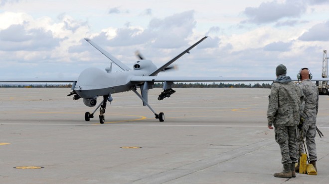
An interactive online map that shows locations of wearable fitness-tracker users inadvertently reveals the locations of secret U.S. military bases overseas, according to reports Sunday. The Global Heat Map from Strava, a San Francisco-based GPS tracking company, visualizes activity from tens of millions of users of its app from 2015 through September 2017.
Its app can be used on popular devices such as Fitbit, Jawbone and Vitofit. But in doing so, it also shows locations where soldiers wearing those devices are training, including sites in Somalia, Niger, Syria and Afghanistan.
While the bases are not marked as such on the app, their remote locations suggest their true functions. Some bases are public knowledge, but others are not, and either way, the data could be used to track soldiers' training routines and plan ambushes, experts told The Guardian and the Washington Post.
"This is a clear security threat," one security analyst told the Post. After the reports, Strava on Sunday urged its users to review the app's privacy settings.

Waagacusub TV
Loading...

![[Topnews:-] Sarkaalkii Muqdisho ka Afduubtay Saraakiishii Sirdoonka Faransiiska oo Mareykanka u tahriibay.](https://waagacusub.com/uploads//article/photo/IMG_D12C79-B2F5AF-B6B07C-E7F3AC-96251A-E9123F.jpeg)


![[DAAWO] Dahir Alasow muxuu ka yiri Arooska Saadaq Joon iyo gabadha Madaxweynaha Jibouti](https://waagacusub.com/uploads//article/photo/IMG_A85D69-E46491-EB949F-F75713-195F22-880C48.png)
![[DAAWO] Gabadh aan Aabbe iyo Hooyo laheyn kadibna seddex Caruura lagu furay maxaa ku dhacay ?](https://waagacusub.com/uploads//article/photo/IMG_418075-E7A0C5-2FE6EA-C581B5-C9940B-8CE1BE.png)
![[DAAWO] Qabiilka ugu fulaysan uguna faanka badan Somalida oo shacabka Soomaaliyeed cabirayaan?](https://waagacusub.com/uploads//article/photo/IMG_444F4F-0F2704-1B7D7E-D109A0-B778B0-E4602B.png)
![[Daawo] sidee loo dilay Amiirka Shabaab iyo Wiilka xasan Dahir - Wararka qubanaha Dahir Alasow](https://waagacusub.com/uploads//article/photo/IMG_732422-B87120-7AB730-3E00E9-27DE0A-43CC94.png)
Fitness-tracking map reveals locations of secret U.S. bases: reports
An interactive online map that shows locations of wearable fitness-tracker users inadvertently reveals the locations of secret U.S. military bases overseas, according to reports Sunday.